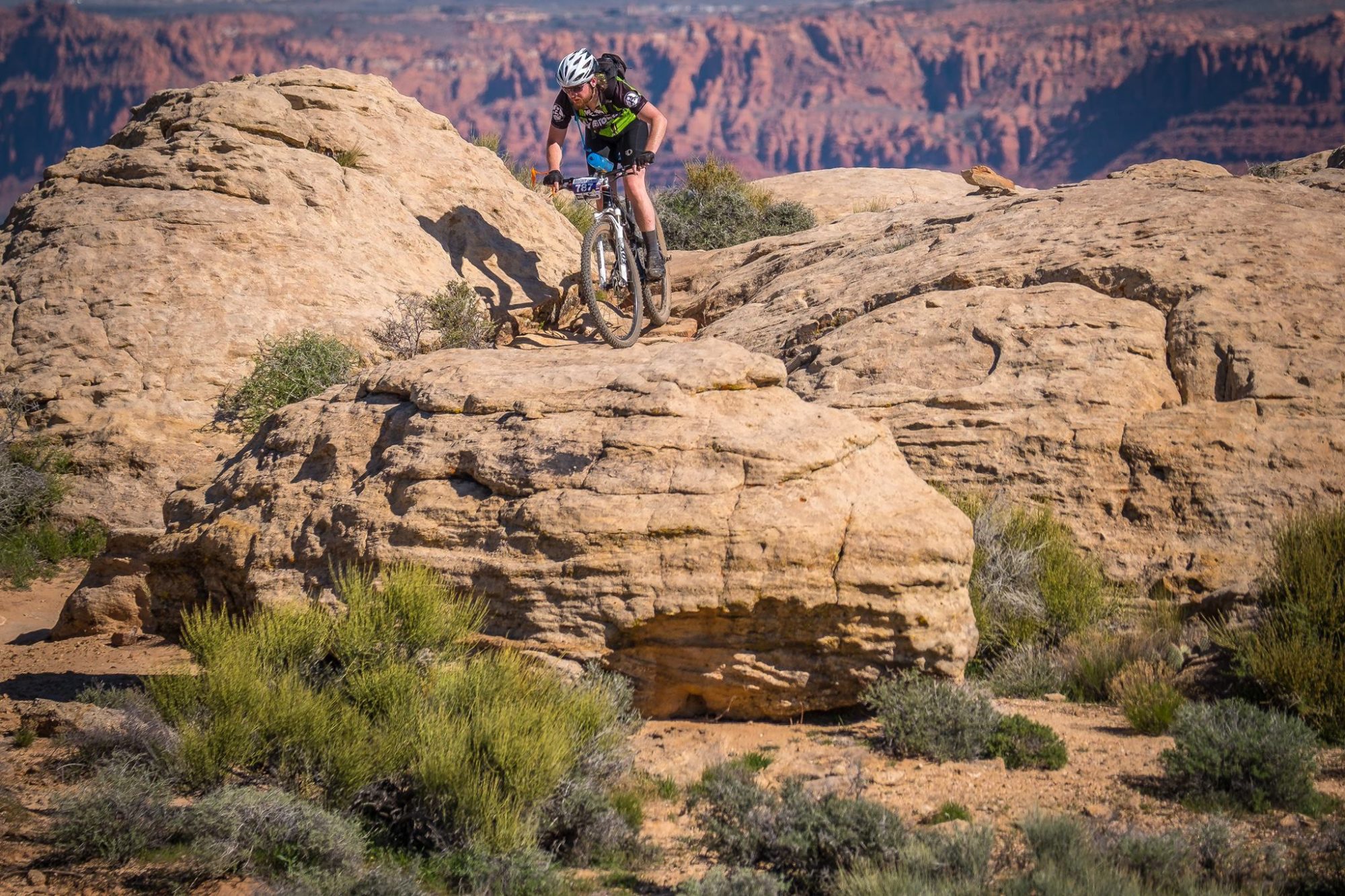
Yesterday I rode the Laramie Enduro, a mountain bike race outside of Laramie, WY featuring “a challenging 70+ miles which climbs over 8,600 vertical feet, all at elevations over 7,500 feet”. My Garmin log indicated 67 miles and 7,800 feet of gain or so, but depending on frequency of the points recorded in the log (more frequently recorded GPS points will result in a longer track calculation and more elevation change), barometer changes during my ride and/or whether they used DEM elevation corrections for the official tally could account for the differences in the numbers.
I arrived the evening before the race for check-in and packet pick-up, the train station in Laramie where this takes place was quite easy to find. The event website and various emails I received from the event organizers indicated that there would be NO race-day packet pick-up, but in fact they did indicate a spot for race-day packet pick-up at the top of forest service road 705 right next to the rest area. So I guess everyone has to follow the rules, except for those folk who don’t have to? Racer parking was along an unimproved road, which wasn’t marked but was the only left between the Summit/Headquarters Trail Head and parking area and the Hidden Valley Picnic Area. You could park here the night before and pitch a tent next to your car for an authentic low-budget experience, although be aware that the ground is brush-covered.
The good: The were quite a few things that I really enjoyed about this race. The diversity of the people was great, I met individuals local to me as well as others from Utah, Wyoming and many from Colorado. The volunteers at the aid stations were extremely energetic, friendly and helpful, they would fill riders bottles and hydration bladders for them, freeing the rider to pick and choose from a wide assortment of snacks. The quantity and quality of foods available at the aid stations was also very good, water, gatorade, electrolyte tablets, fresh fruit, gels, cookies, mini clif bars and a whole assortment of others. Some of the single-track was quite fun, it tended to be a bit wide and there were many technical and rocky sections and roots were prevalent. There were also a ton of outhouses both at the start/finish area and along the route, which was a nice touch.
The bad: There were also a number of things about the event that I did not like. During the roll-out at the start of the race riders proceed up the gravel road from the Hidden Valley Picnic Area and hit single-track by the Summit/Headquarters Trail Head. There is only perhaps half of a mile on the road for riders to sort their order out and there ends up being a potentially several minute wait to file onto the single track. The biggest failing of this event in my mind is the course itself, it is mostly road. During the course of the ride you transition from gravel roads to forest service roads and un-maintained roads and onto single-track and back again. But… by-and-large the race course is on roads. The temperature was in the 80’s, which was quite tolerable, but given the nature of the course a rider spends the majority of their time in full sun exposure, which makes expediency pay dividends. The course was quite dusty and in many places you find yourself rolling through an inch or two of sand/silt, because of this by the time you roll through the finish your arms and legs will be covered with a thick layer of grime. It would be great if they had some means of washing off at the finish area.
All in all, I had a pretty good time and am glad I got to experience this event. If I were more local it would definitely be part of my annual to-do, that said, I probably will not make the 6 hour trek to do this event again, the local Sturgis BAM Knifeblade Rock and Roll and Dakota Five-O are more enjoyable, have better venue’s and are right in my backyard.
Update, 8/3/2011: Action Photographic was on-hand taking photos from 5 different locations along the course, which have been posted to their website for sale. Of the 2,237 photos they posted, not a single image of me exists (not even in the background). While it was debatable whether I would have plunked down the $25.99 per image to download the high quality versions anyway, this certainly puts another check in the “will not attend this event in the future” column.
Log: http://connect.garmin.com/activity/102942412
Mileage (car): 600mi
Mileage (bike): 67mi
